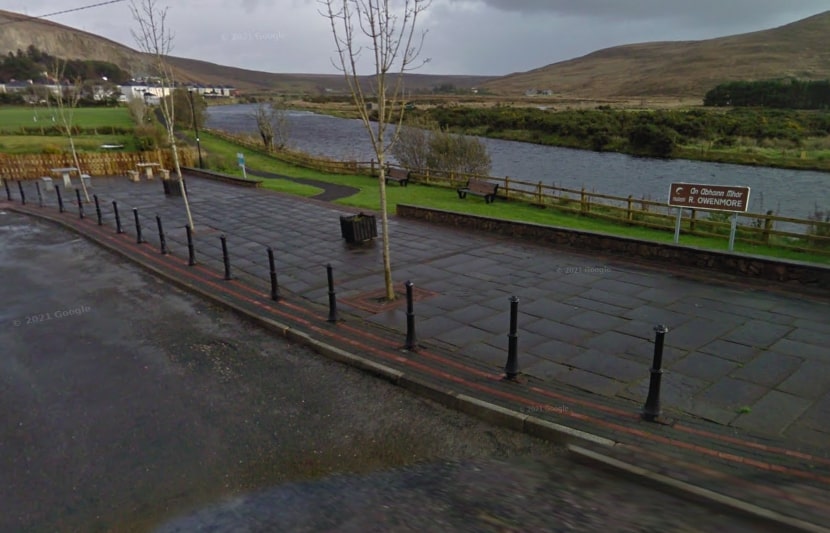
The Bangor Trail is an old route through the Nephin Beg mountains in northwest Mayo. It used to be the primary route from Bangor to Newport, dating back to the 16th century. Nowadays it mainly attracts recreational walkers, though because of the distance involved and the rough ground underfoot, it is probably quieter now than it once was at the height of Ireland’s population in the early 1800s.
The Bangor Trail is a long and demanding walk and should not be taken lightly. Traversing Ireland’s first designated wilderness area, the trail crosses a few mountain passes and skirts the western flank of the Nephin Mountains.
- GPS from Bangor Erris: 54.1447, -9.7429
- GPS From Newport: 53.8832, -9.5457
- Distance: 39 km
- Estimated Time: 10 hours
- Terrain: Country lanes, bog tracks, open countryside, small river crossings.
- Trail Waymarking: Green markers
- Level of Difficulty: Hard
- Minimum Gear: Sturdy walking shoes/boots, waterproofs, mobile phone, snacks & fluids
- Services: Leenaun, Westport, Louisburgh