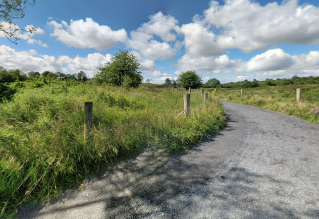
The Castlebar Greenway Network is a linear route linking Westport, Castlebar and Turlough. The route passes by a varied landscape of farmland, bog land, hills, lakes and rivers and offers fantastic views of Clew Bay, Croagh Patrick, and the Nephin Mountain range.
- Trailhead / Start Point: The route can be walked in either direction, from the Doris Brothers Bridge, Westport or from Gortnafolla, Turlough.
- GPS Location: 53.8011, -9.5224 (Westport), 53.8831, -9.2119 (Turlough)
- Terrain: Country roads and off-road greenways
- Distance: 29.7 km
- Estimated Time: 7 -8 hours
- Grade: Hard
- Minimum Gear: Sturdy walking shoes/boots, waterproofs, mobile phone, snacks & fluids