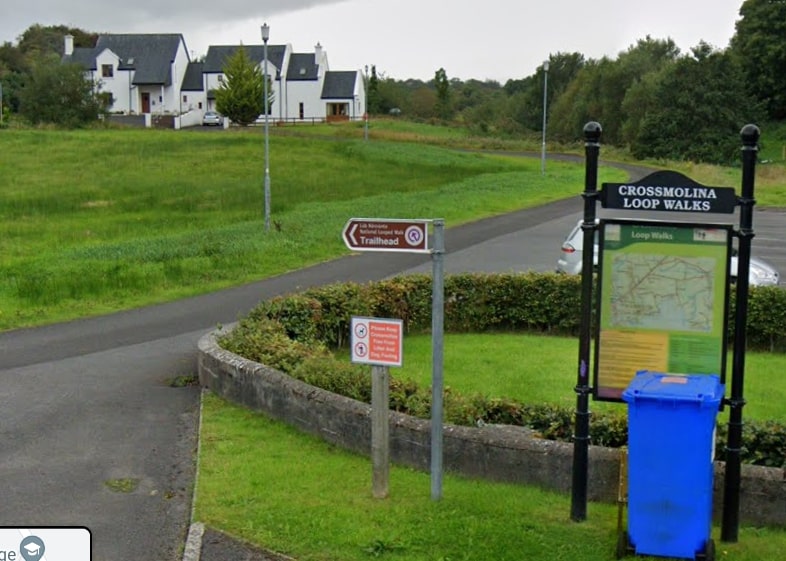
A series of town loop walks have been developed in Crossmolina. The town sits on the banks of the River Deel near the northern end of Lough Conn. Crossmolina is between Ballina and Bangor in the central region of County Mayo.
- Trailhead / Start Point: Children’s Playground, Crossmolina Town
- Terrain: Country lanes
- Direction: White markers
- Distance: 4.6 km
- Estimated Time: 1.5 hours
- Grid Ref. G 182 369
- GPS Location: 54.0960, -9.3142
- Grade: Easy