Burrishoole is one of nine baronies that sub-divide County Mayo. After the Norman invasion of Ireland, baronies were used to divide up Counties into smaller areas for administration purposes.
Burrishoole barony is located in west Mayo and includes the following areas, Newport , Derrada, Tiernaur & Mulranny. Each of these areas have a number of approved walks which are collectively marketed / known as the Burrishoole Loop Walks.
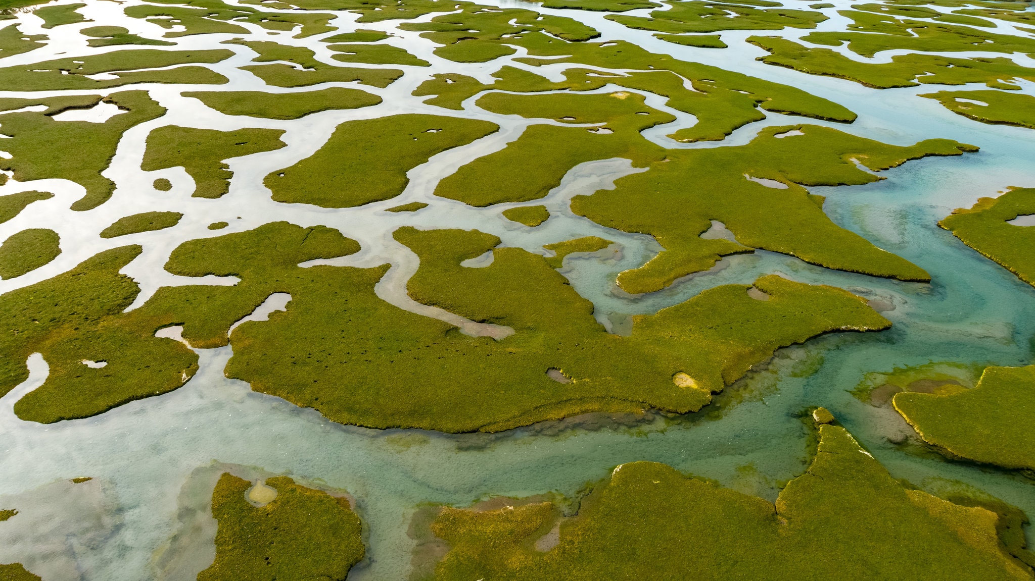
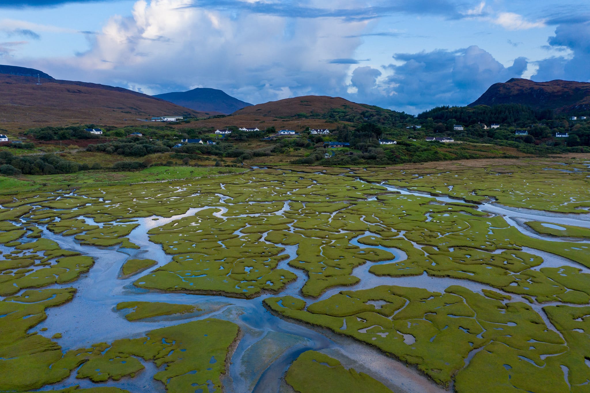
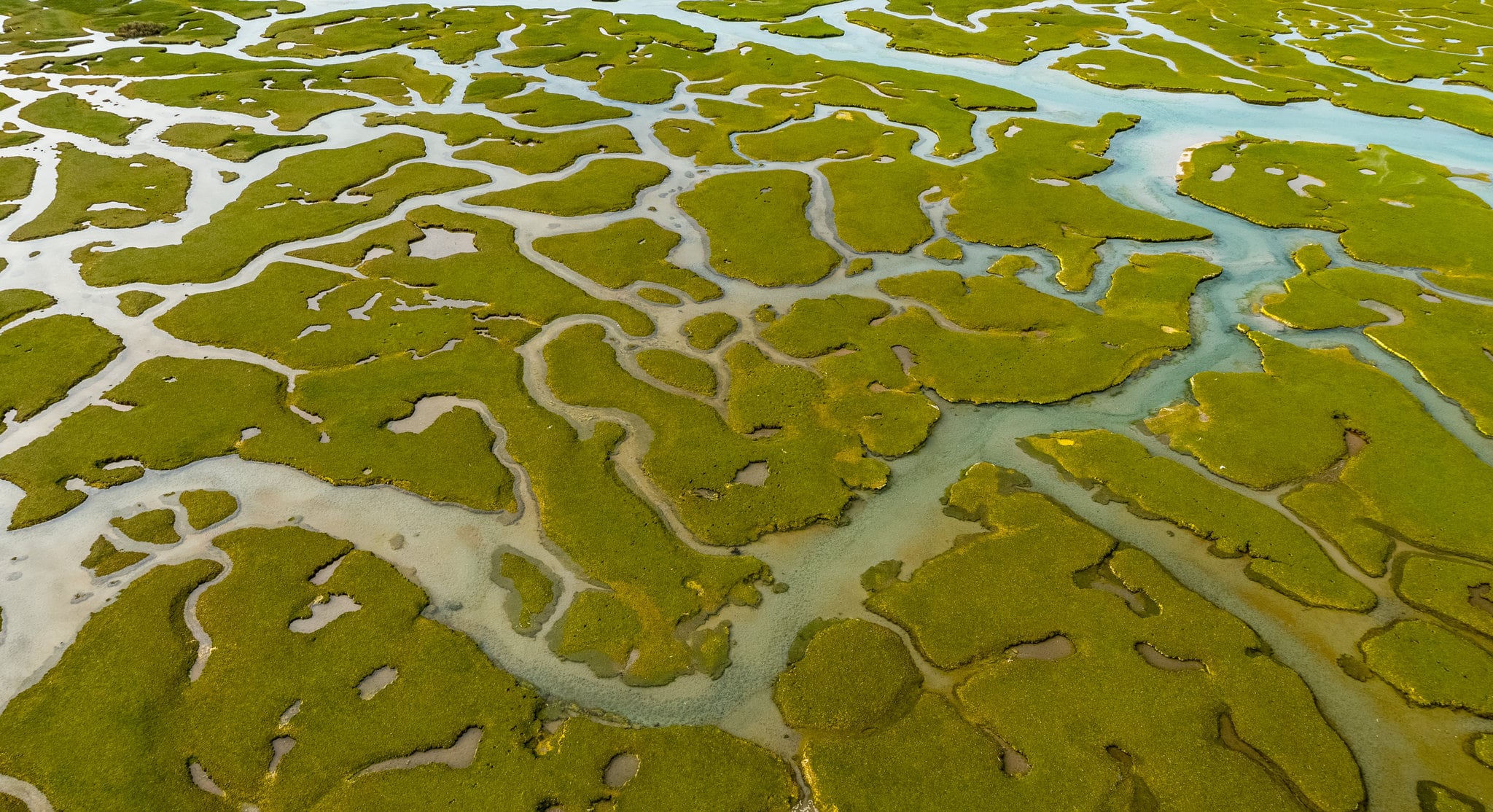
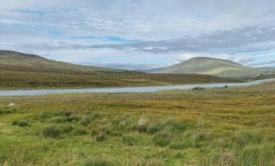
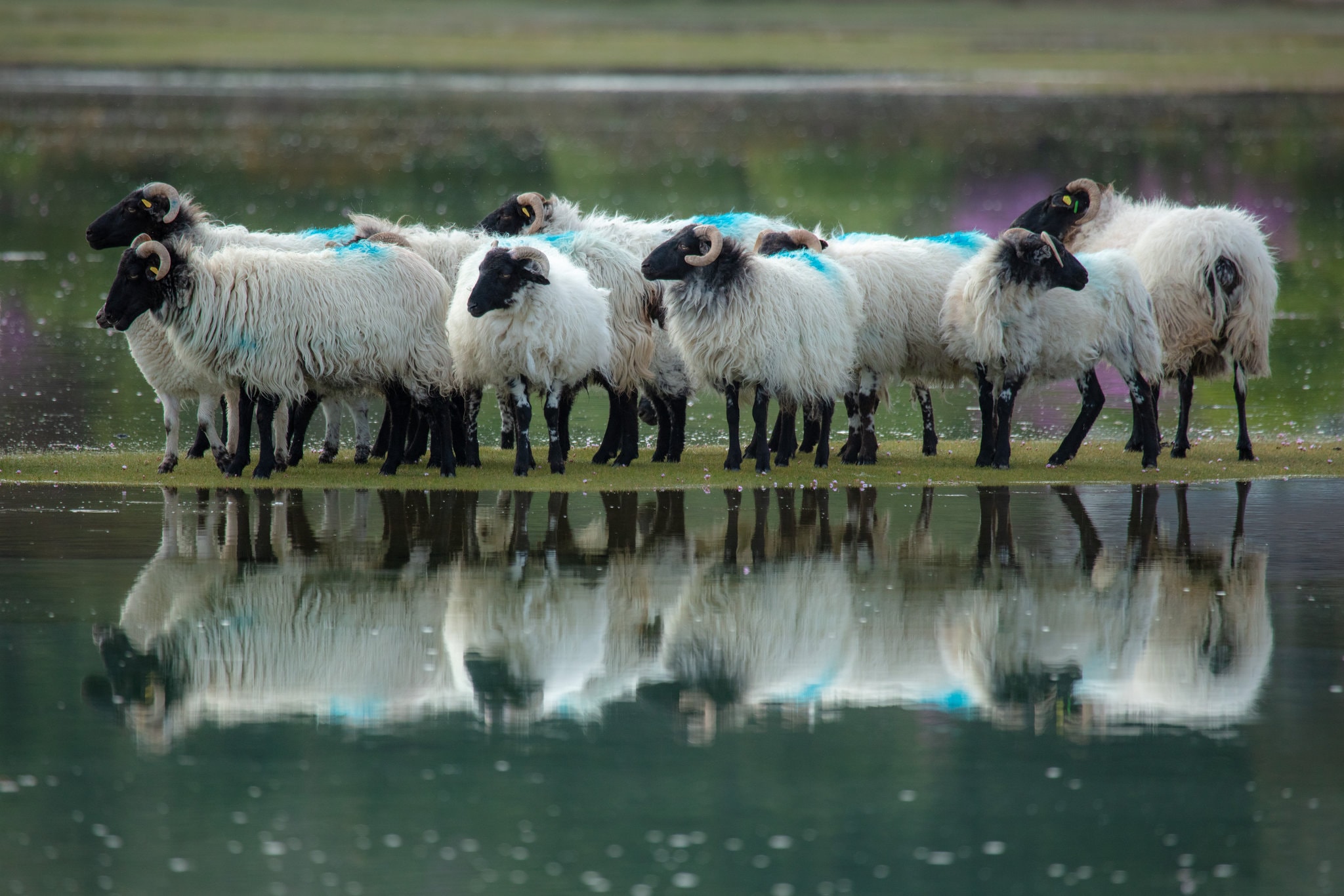
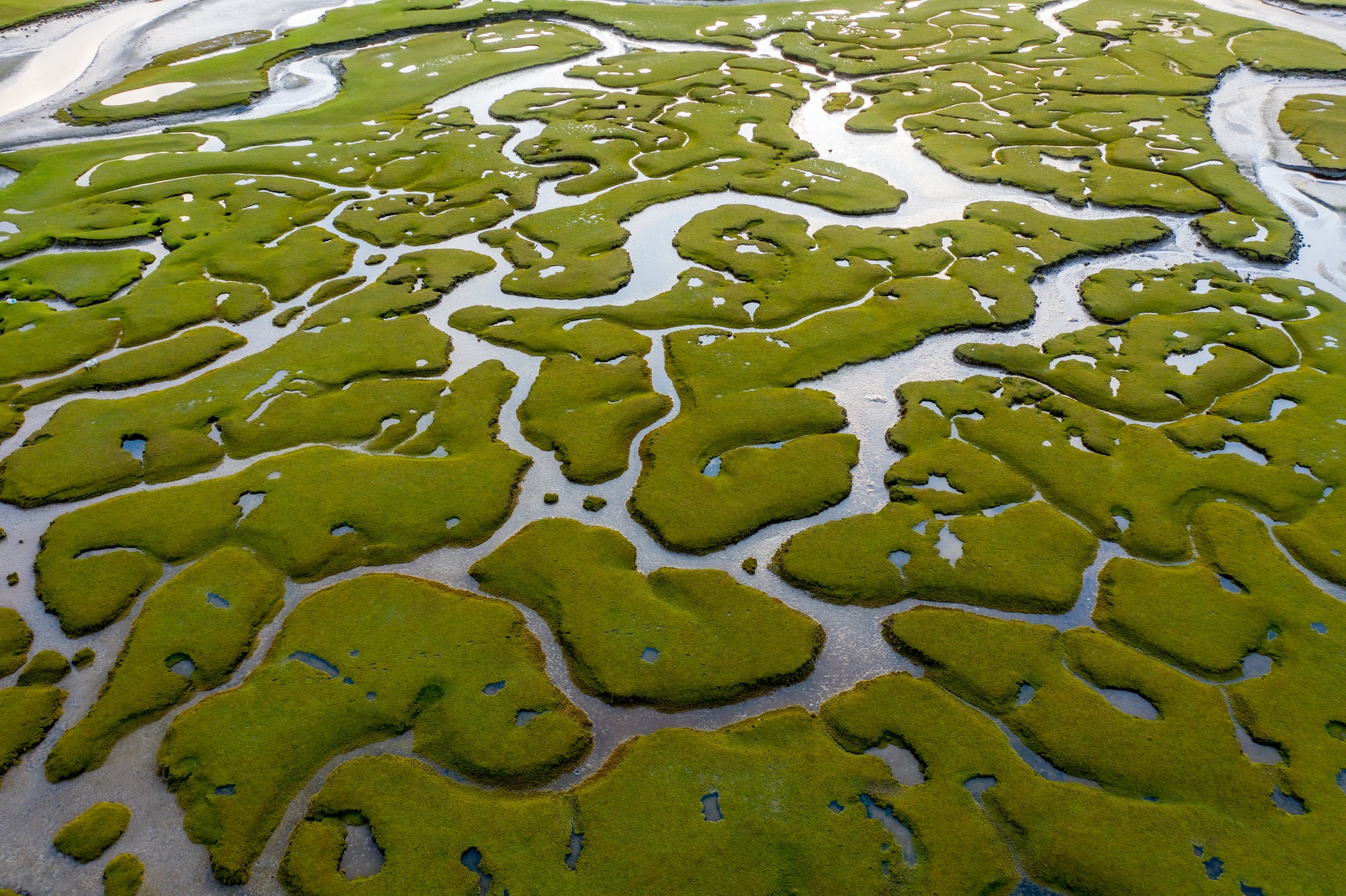
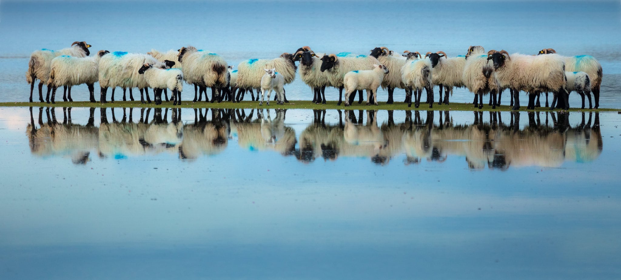
This walk along quiet roads and bog tracks offers a fine view of bog and Mountain. The trailhead / starting Point is from the Derradda Community Centre which is located 3.9 km outside Newport on the Mulranny Road.
- Start / Finish / Trailhead: Derrada Community Centre.
- Grid Ref. Grid Ref. L 957 961
- GPS Location: 53.9038, -9.5861
- Distance: 11 km
- Estimated Time: 3 hours
- Terrain Quiet roads and bog tracks.
- Trail Waymarking: Red Markers
- Level of Difficulty: Hard
- Minimum Gear: Sturdy walking shoes / boots, waterproofs, mobile phone, snacks & fluids
- Services: Newport, Mulranny.