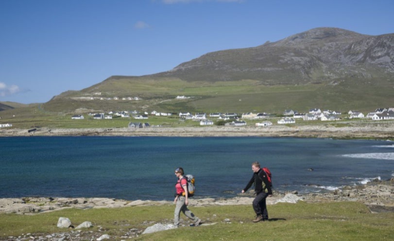
While Achill Island is the largest island in the country, it is easily accessed from the mainland by bridge. Achill Island highlights include the fantastic Atlantic Drive along the coast and onto Keel village to view the magnificent Minaun Cliffs. Climb Saddle Head at Keem Bay and enjoy the breath-taking views of the sea cliffs at Craughaun.
A series of Loop Walks have been developed around Achill Island one of which is the Dooagh Loop Walk. This is an easy and enjoyable walk along by bog, river and stream. Dooagh is located on the R319 regional road and is 17km from the bridge in Achill Sound.
- Trailhead / Start Point / Finish point: Beside the bottle banks in Dooagh.
- GPS Location: 53.9750, -10.1267.
- Terrain: Country Laneways.
- Trail Waymarking: Purple Markers.
- Distance: 4.4 km.
- Grade: Easy.
- Estimated Time: 1 – 1.5 hours.
- Minimum Gear: Sturdy walking shoes / boots, waterproofs, mobile phone, snacks & fluids