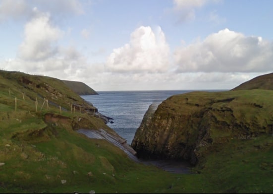
For choosing a walk in the Belmullet and wider Erris area, you have plenty of choices, with lots of wonderful walks and spaces to explore nearby. The Erris Head Loop walk is often described as the most isolated place in Ireland because of its wild wilderness. With spectacular scenery, steep cliffs and a rugged coastline, Erris Head is just stunningly beautiful.
Directions
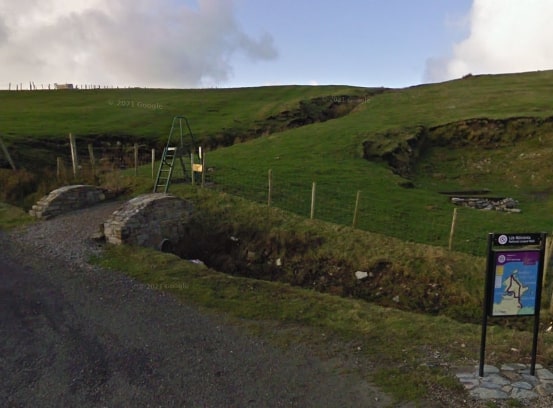
Start from the town of Belmullet on the R313 between Bangor and Blacksod. Follow the sign for Ceann Iorrais to reach the start/trailhead at a small car parking area at the end of the road. (Note: The trailhead is signposted from the town of Belmullet)
- Trailhead / Start Point: Erris Head Carpark
- Direction: Purple markers
- Distance: 4.8 km
- Estimated Time: 1.5 hours
- Terrain: Coastal route along grassy paths, earth banks and open ground
- Grade: Easy
- GPS Location: 54.28865, -9.98827