Foxford village is approximately midway between the towns of Castlebar and Ballina. It is built on the banks of the River Moy, between the Nephin and Ox Mountains.
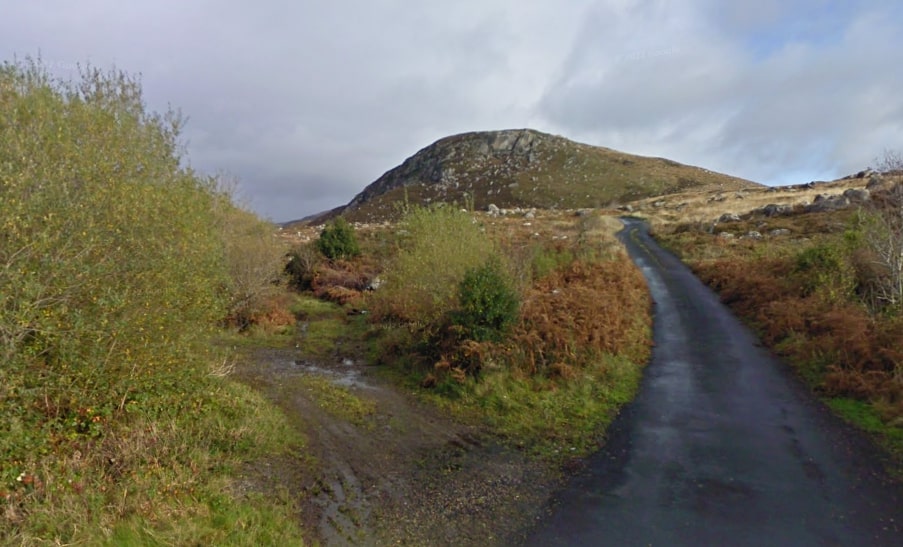
Enjoy the beautiful scenery as you walk alongside the bogs and mountains on the Foxford Way Loop. With the Ox Mountains on one side and Nephin Mountain on the other, you will appreciate the beauty of the surrounding countryside.
- Trailhead / Start Point: Car park, located beside Children’s Playground just off the N26 Foxford – Swinford Road.
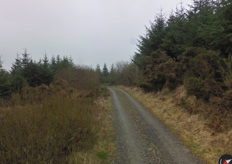
- Terrain: Country Lanes, Grassy paths, and Mountain track
- Direction: Yellow markers
- Distance: 34 km
- Estimated Time: 8.5 hours
- GPS Location: 53.9808, -9.1104
- Grade: Hard
- Minimum Gear: Hiking boots, waterproofs, mobile phone, snacks & fluids