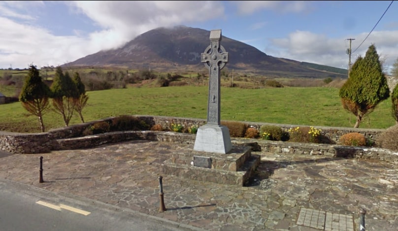
Lahardane is on the R315 between Crossmolina and Pontoon. It is adjacent to Lough Conn, close to the towns of Castlebar and Ballina and is home to the Titanic Village.
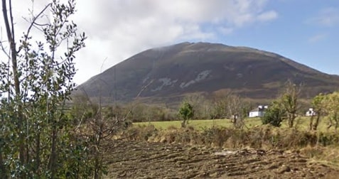
Lahardane, Ireland’s Titanic Village, takes its name from “Leath-Ardán”, meaning gentle slope, or half the hill and it lies at the foot of Nephin Mountain, one of Ireland’s tallest mountains.
- Trailhead / Start Point: Titanic Memorial Park, Lahardane
- Terrain: Country lanes
- Direction: Blue markers
- Distance: 8.6 km
- Estimated Time: 2.5 hours
- GPS Location: 54.0311, -9.3231
- Grade: Moderate