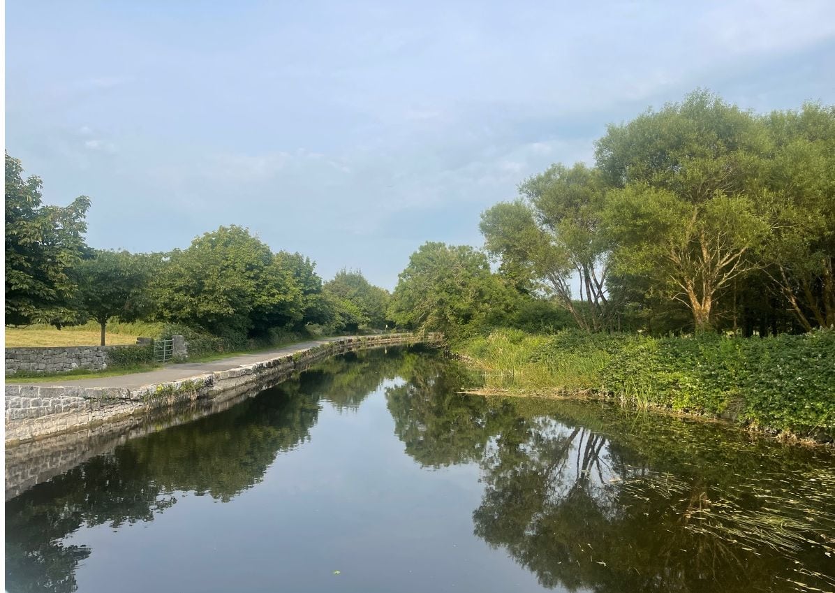
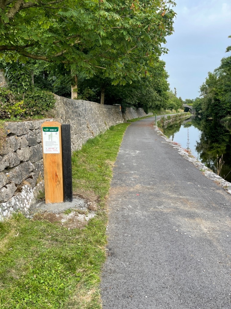
The newly developed Bowers Way trail extends from Ballinrobe town to Lough Mask. The trail rambles along on the existing tree lined Bowers towpath, then continues alongside the river Robe. The recently extended walk incorporates a new woodland section at Creagh woods. A new trailhead has been established to facilitate access to the trail at Creagh woods.
Trailhead / Start / finish Point: Bowers Way Carpark / Creagh Woods Carpark.
Terrain: Asphalt pathway and gravel tracks
Direction: White Finger Posts with Black Writing
Distance: 6 kms
Estimated Time: 1 – 1.5 hours (one way)
GPS Location: Creagh Woods Carpark 53.6406, -9.2738
GPS Location: Bowers Way Carpark 53.6226, -9.2254
Grade: Easy
Minimum Gear: Sturdy walking shoes / boots, waterproofs, mobile phone, snacks & fluids
Services: Ballinrobe