Kilmovee is halfway between Kilkelly and Ballaghaderreen, on the R325 road. Kilmovee is rich in archaeology with 7 Caiseals in the Kilmovee area. Caiseal is the Irish word for a circular stone fort.
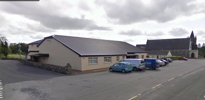
- Trailhead / Start Point: Kilmovee Community Centre
- GPS Location: 53.8903, -8.6880
- Distance: 7.2 km
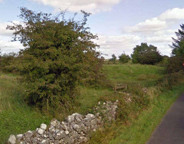
- Terrain: Country lanes and boreens
- Grade: Moderate
- Estimated Time: 2 hours
- Minimum Gear: Sturdy walking shoes/boots, waterproofs, mobile phone, snacks & fluids
- Services: Ballaghaderreen, Kilkelly