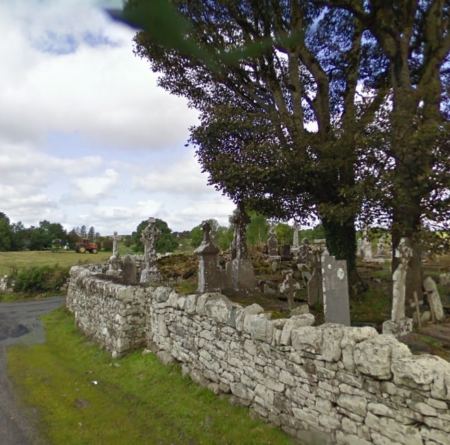
Kilmovee is halfway between Kilkelly and Ballaghaderreen, on the R325 road. The parish is named after Saint Mobhí, as Kilmovee or Cill Mobhí in Irish, which means the church of St Mobhí. St Mobhí came to the area to continue on the work of St Patrick. Kilmovee is rich in archaeology with 7 Caiseals in the Kilmovee area. Caiseal is the Irish word for a circular stone fort.
- Trailhead / Start Point: Kilmovee Community Centre
- GPS Location: 53.8903, -8.6880
- Distance: 3.8 km
- Terrain: Country lanes and boreens
- Grade: Easy
- Estimated Time: 1 hour
- Minimum Gear: Sturdy walking shoes/boots, waterproofs, mobile phone, snacks & fluids
- Services: Ballaghaderreen, Kilkelly