Directions to Clogher
Start from the village of Ballintubber just off the N84 Castlebar to Ballinrobe road. Approximately 100 m past Ballintubber Abbey which is located to your right, look out for a fingerpost sign pointing you in the direction of Clogher. Turn left and follow this road for approximately 5 km until you arrive in Clogher village.
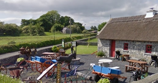
- Trailhead / Start Point: Clogher Heritage Centre
- GPS Location: 53.7634, -9.2465
- Terrain: Forest roads and Paths
- Trail Waymarking: Red Markers
- Distance: 8.5 km
- Grade: Moderate
- Estimated Time: 2.5 hours
- Minimum Gear: Sturdy walking shoes/boots, waterproofs, mobile phone, snacks & fluids