Welcome to Mayo

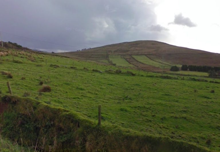
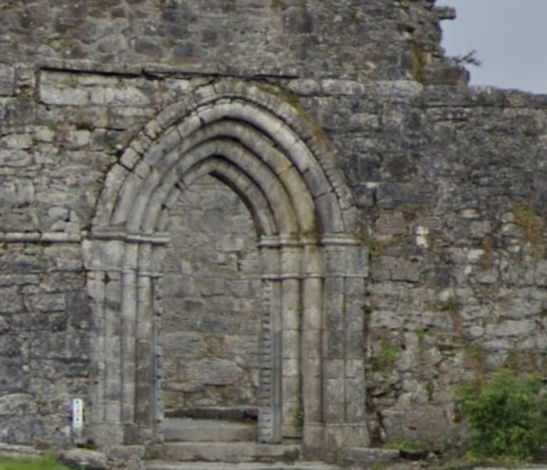
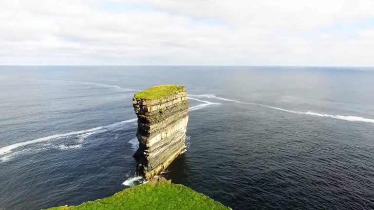
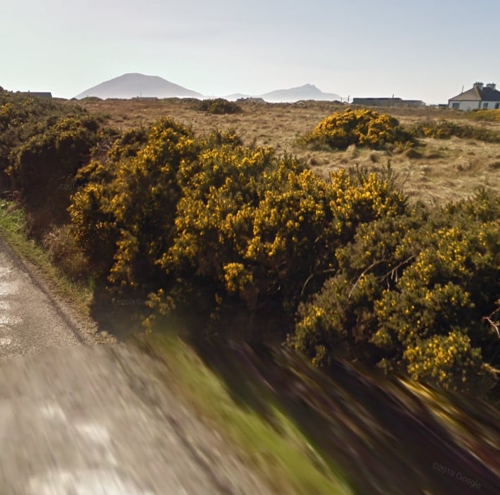
The unspoilt and varying landscapes, unique scenery and rich heritage and folklore mark it as the ideal walking and cycling destination for exploring the great outdoors!

Region

Region
  • North Mayo (44)
  • West Mayo (44)
  • Central Mayo (29)
  • Multi-Region (20)
  • South Mayo (11)
  • East Mayo (3)

Walk Length

Walk Length

Difficulty

Difficulty

Location

Location

Nearby

Nearby

Search

Search
Map

Knock Lecarrow Loop

Knock Shrine is a Roman Catholic pilgrimage site and national shrine in the village of Knock, County Mayo, Ireland, where locals saw an apparition in 1879 of the Blessed Virgin Mary, Saint Joseph, Saint John the Evangelist, angels, and Jesus Christ (the Lamb of God). 
Difficulty

Moderate

Walk Length

6.5 km

Duration

2.5 hr

Code

CM120

Knock Cullentragh Loop

Knock Shrine is a Roman Catholic pilgrimage site and national shrine in the village of Knock, County Mayo, Ireland, where locals saw an apparition in 1879 of the Blessed Virgin Mary, Saint Joseph, Saint John the Evangelist, angels, and Jesus Christ (the Lamb of God). 
Difficulty

Hard

Walk Length

17.7 km

Duration

4.5 hr

Code

CM110

Kilmovee Loop 1 Kilclare

Kilmovee is halfway between Kilkelly and Ballaghaderreen, on the R325 road. Kilmovee is rich in archaeology with 7 Caiseals in the Kilmovee area. Caiseal is the Irish word for a circular stone fort.
Difficulty

Moderate

Walk Length

7.2 km

Duration

2 hr

Code

CM090

Kilmovee Walk To Cashel

Difficulty

Easy

Walk Length

2.5 km

Duration

1 hr

Code

CM080

Kilmovee Loop Magheraboy Purple

Kilmovee is halfway between Kilkelly and Ballaghaderreen, on the R325 road. Kilmovee is rich in archaeology with 7 Caiseals in the Kilmovee area. Caiseal is the Irish word for a circular stone fort. 
Difficulty

Moderate

Walk Length

8 km

Duration

2 hr

Code

CM070

Kilmovee Loop 2 Rusheens

Kilmovee is halfway between Kilkelly and Ballaghaderreen, on the R325 road. The parish is named after Saint Mobhí, as Kilmovee or Cill Mobhí in Irish, which means the church of St Mobhí. St Mobhí came to the area to continue on the work of St Patrick. Kilmovee is rich in archaeology with 7 Caiseals in the Kilmovee area. Caiseal is the Irish word for a circular stone fort. 
Difficulty

Easy

Walk Length

3.8 km

Duration

1 hr

Code

CM060

Get Active

Enjoy the great outdoors!

Mayo has so much more to offer walking enthusiasts than any other county in the country! There are all kinds of walking trails, including Mountain, Coastal and Island, Rural and Urban Greenways, and National Loop Trails. Here you will find an abundance of information, including directions, detailed maps, descriptions and photographs.
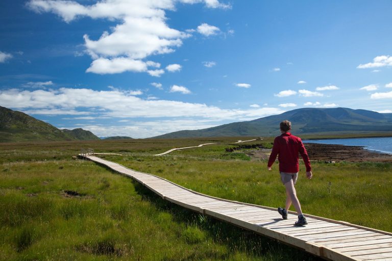
Walker on a wooden boardwalk at Ballycroy National Park
Walker on Slievemore on Achill Island
Explore Trails
Cycling in Mayo
Cycling in Mayo
Mulranny Loop
Watch Promo
Tips & Resources

Discover Trails

Mf1
North Mayo

Mayfield Lake Loop Walk

These loops are part of a countrywide network of high-quality, circular walks being developed by Fáilte Ireland, Department of Rural & Community Development and Sport Ireland.

Read More »
Walking on Clare Island
Central Mayo

The Holy Well Walk Blue

On the walk, you pass the Holy Well called Tobermacduach. Unbaptised babies were buried near the well in an unconsecrated Children’s burial ground up until circa 1900.

Read More »

What's New

New Recreation & Tourism Facilities in Mayo
Play Video about New Recreation & Tourism Facilities in Mayo

New Recreation & Tourism Facilities

Check out details of new Recreation & Tourism facilities developed in County Mayo during 2022.
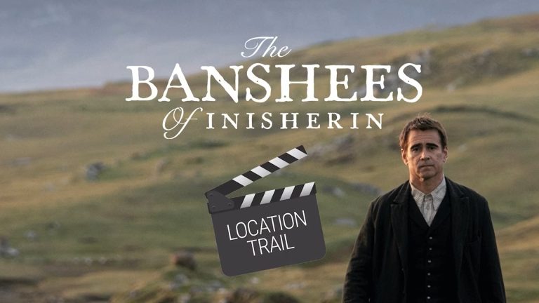
Banshees of Inisherin Location Trail
Play Video about Banshees of Inisherin Location Trail

Banshees of Inisherin Location Trail

Achill Island in County Mayo was home to the film set of the award-winning film “The Banshee of Inisherin”.

'On Your Bike' To Explore Co. Mayo!

Within Mayo, there is a feast of great cycling options through a series of scenic routes. There are country roads leading to seaside coves, and to mountain tops.

Logo of Project Ireland 2040
Logo of Mayo City Council

This project “Mayo Trails Website” was funded by the Department of Rural and Community Development and Mayo County Council under the Outdoor Recreation Infrastructure Scheme.

MayoTrails.com All rights reserved. Copyright 2006-2022. Mayo County Council.